San Pasqual - Clevenger Canyon Open Space Park
The City of San Diego's Parks and Recreation Department manages and maintains the trails of San Pasqual and Clevenger Canyon, located east of the San Pasqual Valley. These trails offer great hiking and bird watching and are part of the San Dieguito River Park. Note that bicyclists and equestrians are not allowed.
History

These trails were historically used by the Kumeyaay Indians for gathering food and medicinal plants, with historians estimating they collected over 12,000 native species. The Spanish settlement in 1769 drastically altered Kumeyaay life, introducing new practices and land claims for agriculture and cattle ranching, which became the region's primary economy.
After California was ceded to the U.S. in 1848, ranches were largely dissolved. Later, John Clevenger and his family established successful dairy and wheat farms in the San Pasqual Valley. In recent years, avocados and citrus have become profitable crops in the area.
Today

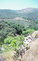
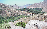
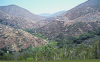
This area features steep canyons and peaks formed by a local fault line, characterized by granite bedrock and sandy loam from weathered granite. These unique soils support a southern mixed chaparral plant community, including chamise, ceanothus, and scrub oak. Rare Englemann Oaks provide food and shelter for abundant wildlife, which also consumes poison oak berries as a food source.
Hiking

Both trailheads have paved parking, but lack restrooms and prohibit overnight camping. Hikers are advised to carry plenty of water due to hot canyon temperatures.
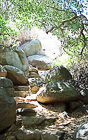
The south trailhead offers two shorter trails: A 1.5-mile west trail that gently climbs to an overlook of San Pasqual Valley. A 2.3-mile east trail that descends to a shaded ravine before climbing to a 1,755-foot summit, offering views of San Pasqual Valley.
The north trailhead is a more challenging 20-mile round trip offering more variety and solitude. However, it is poorly maintained with overgrown sections and lacks directional markers, making it difficult to follow. Hikers are advised to stop when the trail is no longer defined. Maps can be obtained by calling the Park Ranger's office.
Directions

To get to San Pasqual and Clevenger Canyon from downtown San Diego, take state Route 163 north and continue onto Interstate 15 north. Exit at Via Rancho Parkway and travel east. Turn right on San Pasqual Valley Road and follow signs to the San Diego Zoo Safari Park. The southern trailhead is located 5.3 miles from San Diego Zoo Safari Park, and the northern tail head is 5.8 miles ahead. Parking lots are open from sunrise to sunset.
For more information on San Pasqual—Clevenger Canyon Open Space Park, call the Park Ranger's office at 858-538-8082.
Volunteering Opportunities
Volunteers are always welcome to help with the park's maintenance and operation. A Park Ranger assigned to the park area provides interpretive programs, public assistance, guidance, enforcement, and protection.
Please Follow Citywide Park Rules
The City prioritizes the safety of those who visit these parks. It is important that these rules must be followed in order to achieve this goal. For more information on City Park Rules regarding pets, trash, general safety precautions, and more; please follow this link to view these rules in more detail.
To report suspected illegal activity, including transient encampments, encroachment onto City property, or other maintenance needs, please call 858-538-8082. In an emergency, please call 9-1-1.

