Torrey Hills Community Plan
About Torrey Hills
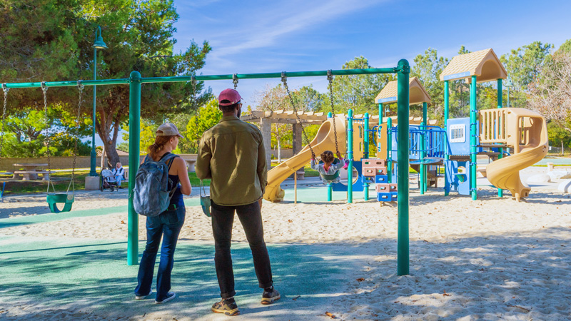
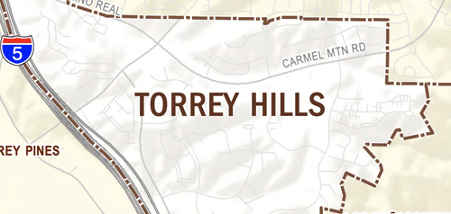
The community of Torrey Hills contains approximately 784 acres. The Torrey Hills area's planning history is tied to the planning efforts for Los Peñasquitos Canyon Preserve. For nearly 10 years, prior to the adoption of the City of San Diego General Plan in 1979, the City and County had been conducting studies on Los Peñasquitos Canyon as an open space park. During that period, the Carmel Valley community was being planned, and the Torrey Hills area was specifically excluded so as not to preempt the determination of a precise park boundary. By the time the General Plan was adopted in 1979, the precise boundary of the park still had not been determined, and the Torrey Hills property was designated as Future Urbanizing on the General Plan until the boundary of the preserve could be determined.
In February 1980, Genstar-Peñasquitos (now AG Land Associates, LLC) dedicated a total of 1,806 acres of Los Peñasquitos Canyon to the City for use as a preserve. This action precisely defined the boundaries of the preserve as it borders the Torrey Hills property. This action subsequently cleared the way to initiate a community planning program for the Torrey Hills property and to amend the General Plan which transferred the original plan area from Future Urbanizing to Planned Urbanizing.
Prior to 1986, approximately 178 acres located adjacent to the Torrey Hills community planning area was designated as "Future Urbanizing." In 1986, the citizens of San Diego approved a ballot measure which directed that a 166-acre parcel owned by the City and located at the western boundary of Los Peñasquitos Canyon Preserve adjacent to Interstate 5 be traded for 288 acres of privately owned land located adjacent to the preserve and just north of the area known as "The Falls." An additional 12 acres located between the 166-acre parcel and Interstate 5 was also incorporated into the ballot measure. This total 178-acre addition to Torrey Hills was referred to as the "Park Trade" property. Approval of the ballot measure resulted in a transfer of this property from Future Urbanizing to Planned Urbanizing.
In 1994, the City Council approved an amendment to the Torrey Hills Community Plan and the General Plan which served to implement the results of the initiative, converting the Park Trade property from Future Urbanizing to Planned Urbanizing, and providing for expanded industrial and residential opportunities for the community. Other minor changes which occurred in the 1994 update included a restructuring of industrial uses diminishing the focus on professional office use; the inclusion of 1.3 acres previously shown within the Carmel Valley Neighborhood 8A Precise Plan; and the addition of Vista Sorrento Parkway, the northern extension of which provides north-south access through the community between Carmel Mountain Road and Sorrento Valley Boulevard.
In subsequent years the area devoted to industrial land uses has been reduced and concentrated in the western portion of the community, where easy access to Interstate 5 and Vista Sorrento Parkway is available. An amendment in 1997 provided a broader range of residential land uses, varying from apartments, condominiums and townhomes, to smaller lot detached residential and single-family subdivisions. A Neighborhood Commercial Center was added, providing for retail commercial uses typically serving residential neighborhoods. Additional amendments since 1997 have also changed residential and industrial land uses in the western portion of the community.
Torrey Hills is in Council District 1.


