La Jolla Community Plan


Includes agendas and minutes


About La Jolla
The La Jolla Community Planning area consists of approximately 5,718 acres and is located along the western edge of the north coastal region of the City of San Diego. The northern-most portion of La Jolla is separated from the remainder of the community by the Scripps Institute of Oceanography and a portion of UCSD. Neither Scripps nor UCSD are under the jurisdiction of the City of San Diego.
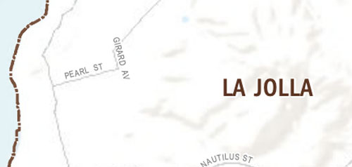
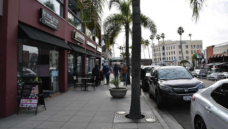
Visually dramatic, the primarily residential community of La Jolla is physically defined by its rugged coastline of ocean bluffs and beaches together with steep canyons and hillsides culminating at Mount Soledad. Until the mid 20th century, La Jolla was characterized by small, single family summer cottages that were located along the coastline or interspersed within the portion of La Jolla known as "The Village." "The Village" includes the area within the boundary of Prospect Street, Girard Avenue and Torrey Pines Road.
In 1946, Charles Eliot created the first comprehensive plan for the community. It concentrated on conserving La Jolla as a resort and preserving those features that attracted both visitors and residents to enjoy its natural surroundings. Since then, La Jolla has experienced substantial growth and land development resulting in the community currently being 99 percent built out. Consequently, the primary development in La Jolla is infill. In 1967, the first La Jolla Community Plan was adopted and updates occurred in 1975, 1995, and most recently in 2004.
La Jolla is in Council District 1 and Council District 2.
Community Planning
Planning Department
9485 Aero Drive, M.S. 413
San Diego, CA 92123
619-235-5200
planning@sandiego.gov