Tijuana River Valley Community Plan
About Tijuana River Valley

The Tijuana River Valley is a broad natural floodplain containing a variety of wetland and riparian areas. This valley is a small portion of the Tijuana River's 1,700 square miles of watershed. The watershed area includes portions of south San Diego County and northern Baja California, Mexico. The Tijuana River Valley Planning Area is bounded by the city of Imperial Beach and the Otay Mesa-Nestor community to the north, the San Ysidro community to the east, Mexico to the south, and Border Field State Park and Imperial Beach to the west.
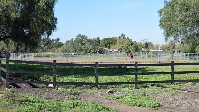
Near the coast is the most extensive salt marsh in Southern California, which is preserved within the Tijuana River National Estuarine Sanctuary. Further inland the river is vegetated with riparian habitat and the floodplain currently contains a mixture of agricultural fields, equestrian facilities, rural housing, and riparian woodland. The valley is bounded on the south by high mesas and deep canyons covered by chaparral, sage scrub and grasslands.
Tijuana River Valley is in Council District 8.


