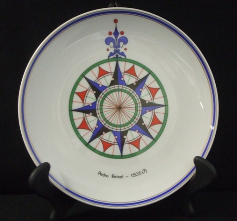
Plate from Portugal, Pedro Reinel 1505

Magnify by hovering your mouse over the image. Zoom in/out with the mousewheel.
9-inch plate with a compass design and Pedro Reinel 1505(?), the map by cartographer Portuguese Pedro Reinel in 1504 or 1505 covering the West of the Mediterranean Sea, the Atlantic Ocean, and neighboring lands, including the New world. Donated by Captain Carlos Fernando Souto Dies, Portuguese Naval Attache/Embassy of Portugal, and Captain-Tennente / Mario Manuel de Fonseca Rua Alvarenga / Commander of the NRP JOAO Coutinho. Occasion information was not provided to the City Clerk's office.
Originating Mayor: Maureen O'Connor
Date Received: 1988

