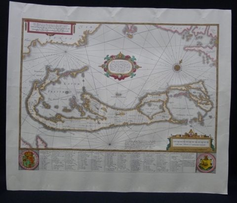
Historical Bermuda Islands Map

Magnify by hovering your mouse over the image. Zoom in/out with the mousewheel.
Historical map of the Bermuda Islands, 22-11/16 x 19 inches, showing tribes and shares. Settled in the 17th century by the Virginia Company, Bermuda was divided into nine areas: one public territory (St. George's) and eight 'tribes' (today 'parishes'). These were areas partitioned to 'adventurers' (investors) of the Company - Devonshire, Hamilton, Paget, Pembroke, Sandys, Smith's, Southampton and Warwick. This was donated by Alfonso de Bourbon; occasion information was not provided to the City Clerk's office.
Originating Mayor: Roger Hedgecock
Date Received: Unknown

